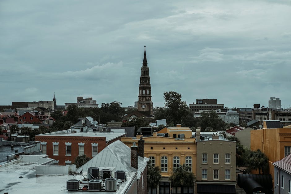
Experience the gentle sea breeze and the timeless charm of the Lowcountry on this self-guided walk along Charleston’s historic harbor. This walking route takes you through the heart of the Waterfront neighborhood, where the city’s maritime legacy meets modern-day serenity. As you explore independently, you will witness the seamless blend of rugged industrial history and manicured coastal beauty. The journey begins at the evocative South Adgers Wharf, where the original granite stones still whisper stories of the busy 18th-century merchant ships that once lined these shores. From here, the path leads you along the scenic Cooper River, offering panoramic views of the Ravenel Bridge and the bustling harbor. One of the defining features of this neighborhood stroll is the iconic Pineapple Fountain, a symbol of Southern hospitality that serves as a perfect backdrop for photography. This area, once a collection of decaying piers and warehouses, was transformed into an award-winning park system that now serves as the city’s front porch. You will learn about the strategic importance of the harbor, the architectural evolution of the Vendue Range, and the majestic presence of the United States Custom House, a building so grand it took decades to complete. Whether you are interested in the natural beauty of the salt marshes or the intricate details of Neoclassical architecture, this self-guided adventure offers a comprehensive look at what makes Charleston unique. This route is a highlight for anyone seeking a walking tour Charleston experience that emphasizes open spaces and maritime history without the constraints of a group. Discover the stories behind the Fleet Landing and the grand Custom House at your own pace, soaking in the atmosphere of one of America’s most historic waterfronts.
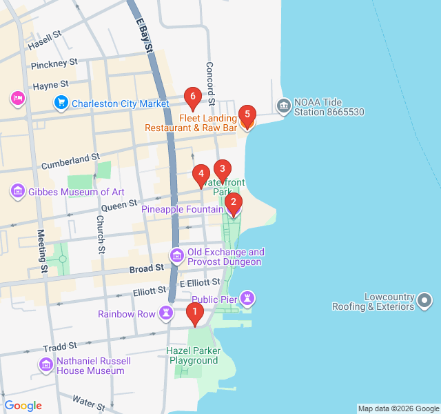
Numbers indicate the order of stops on the tour
Welcome to South Adgers Wharf. As you stand here, look beneath your feet at the large granite blocks. These are the remains of the original 'low battery' sea wall and the wharves that once dominated this area in the 1700s. In the 18th and 19th centuries, this wasn't a peaceful park; it was a chaotic hub of global trade. Ships from around the world docked here to unload spices, textiles, and rum while loading up 'Carolina Gold' rice and indigo. The name 'Adger' comes from James Adger, a wealthy merchant who owned this wharf in the mid-1800s. Today, it serves as a quiet reminder of the city's rugged maritime foundations.
You have arrived at the Pineapple Fountain, perhaps the most photographed spot in Charleston. Installed in 1990 when Waterfront Park opened, the pineapple is a long-standing symbol of hospitality in the South. Legend has it that sea captains would place a pineapple on their gateposts to signal they had returned safely from the Caribbean and were ready to receive guests. Notice the intricate bronze and stone work of the fountain. It was designed to represent both the fruit and the splash of water. It’s a favorite spot for locals to cool their feet on hot summer days, embodying the welcoming spirit of the city.
Take a moment to enjoy the wide-open spaces of Waterfront Park. It is hard to believe that before the 1980s, this entire area was a derelict eyesore of charred pilings and gravel lots. Under the vision of Mayor Joseph P. Riley Jr., this land was reclaimed for the public. The park’s design intentionally draws your eyes toward the Cooper River. Look out across the water to see the USS Yorktown aircraft carrier docked at Patriots Point and the elegant cables of the Arthur Ravenel Jr. Bridge. This park is a masterclass in urban landscape architecture, designed to provide every visitor with a front-row seat to the harbor.
The word 'Vendue' is an old term for a public auction, and this street was once the site of many such sales in the colonial era. As you walk down this pier, you are tracing the path of centuries of commerce. By the 19th century, this area was packed with cotton presses and warehouses. Today, it has been reimagined as a leisure destination. The long pier extending into the river is built over the footprints of those old commercial docks. It’s a perfect spot to observe the local birdlife, including pelicans and gulls, or to watch the large container ships navigate the channel toward the Atlantic.
The building housing Fleet Landing has a fascinating military history. Built in 1942 by the U.S. Navy, it served as a 'degaussing' station during World War II. Degaussing was a process that neutralized the magnetic field of ships to protect them from magnetic mines in the ocean. It is the last remaining naval heritage building on Charleston’s downtown waterfront. After the Navy left, it sat empty for years before being converted into the restaurant you see today. Its wrap-around windows and concrete structure are classic examples of mid-century functional military architecture, now preserved for a much tastier purpose.
Our walk concludes at the magnificent United States Custom House. Construction began in 1853 but was interrupted by the Civil War. It took 26 years to complete, finally finishing in 1879. This Roman Corinthian-style building was designed to showcase the power and wealth of the federal government. Notice the massive granite columns—they were shipped down from Quincy, Massachusetts. The Custom House was placed here to monitor the vast amounts of goods entering the port and to collect tariffs. Even today, it remains an active federal building, standing as a grand sentinel over the Cooper River and a symbol of Charleston’s enduring importance in global trade.
Download Zigway to experience "Maritime Magic: Waterfront and Cooper River Views" with AI-powered audio narration. Walk at your own pace while stories unfold around you.
 Easy
EasyCharleston, United States
Explore the elegant streets of Harleston Village on this self-guided stroll through Charleston's most historic residential enclave.
 Easy
EasyCharleston, United States
Explore the neon lights and culinary gems of Upper King. Discover Charleston's modern nightlife and cultural evolution on this self-guided stroll.
 Easy
EasyCharleston, United States
Discover Charleston’s rich literary history on this self-guided walk past historic libraries, authors' homes, and iconic bookstores.
 Moderate
Charleston, United States
Discover the profound Gullah-Geechee influence and African American history of Charleston on this moving and educational self-guided walking route.
 Easy
EasyWarsaw, Poland
Explore Warsaw's scenic riverfront, rooftop gardens, and industrial-chic architecture on this self-guided stroll through the Powiśle district.
 Easy
EasyNairobi, Kenya
Discover Nairobi's iconic skyline on this self-guided architecture walk through the CBD’s most famous modernist and Brutalist landmarks.
 Moderate
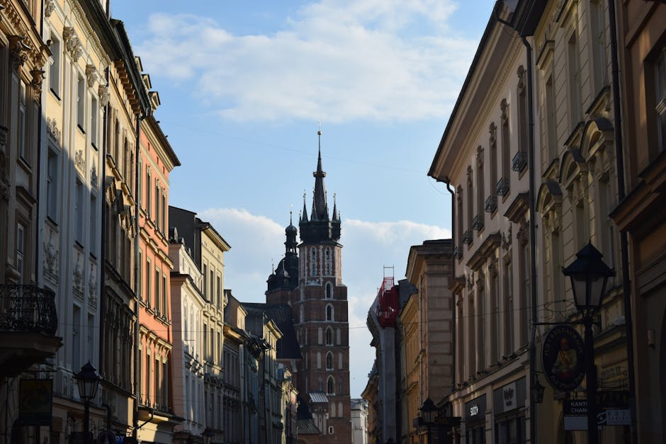
Krakow, Poland
Discover Krakow’s stunning skyline and riverside charm on this self-guided audio walk through scenic viewpoints and historic mounds.
 Easy
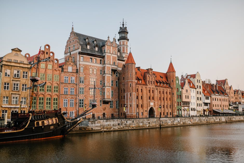
EasyGdansk, Poland
Discover the monastic heritage, world-famous organs, and lush botanical gardens of Oliwa on this peaceful self-guided neighborhood stroll.
 Easy
EasyNew York City, United States
Explore the golden age of Manhattan architecture on this self-guided walk through Midtown's iconic Art Deco skyscrapers and historic landmarks.
 Easy
EasyNew York City, United States
Discover the literary legends, jazz haunts, and revolutionary history of Greenwich Village on this immersive self-guided walking route.
 Easy
EasyNew York City, United States
Explore Manhattan's transformation on this self-guided walk from the High Line to Hudson Yards.
 Easy
EasyNew York City, United States
Discover the world's finest cast-iron architecture and the evolution of fashion on this self-guided walking route through NYC's iconic SoHo district.